
These are photos of the current Andre and Arnold sites (all personal photos) plus some that were taken and published in the late 1800s
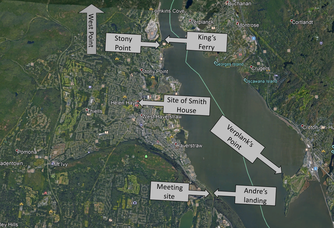
Overview of the events in the Arnold / Andre saga

Detailed map of the Andre landing site and meeting spot with Arnold

A map from the late 1800s showing the exact spot of the meeting (at the intersection of the long clove road and the "ancient path" that comes up from the docks at the river)
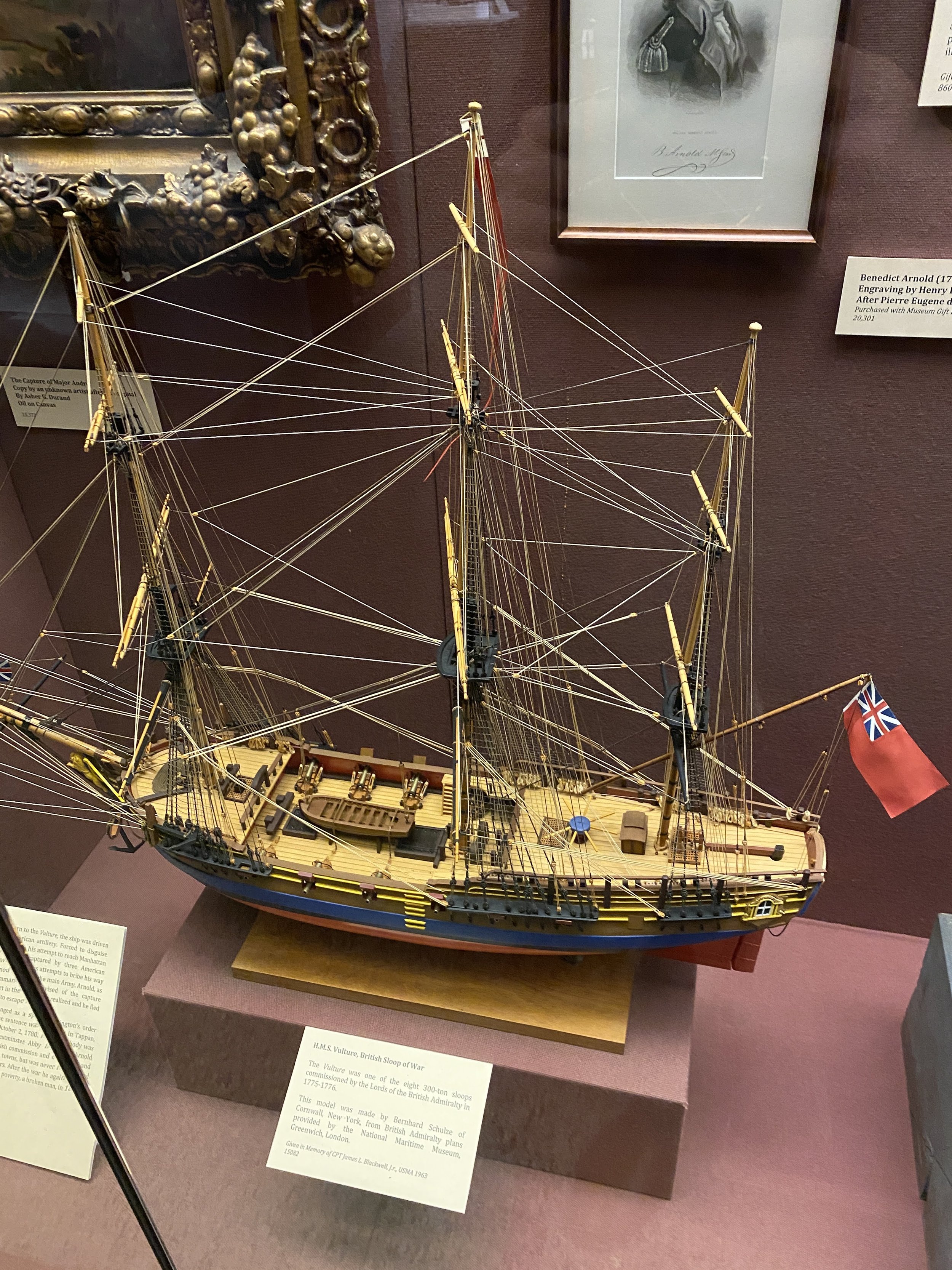
Model of the HMS Vulture, which Andre would ride up from NYC in, and would play a continuous role in the story
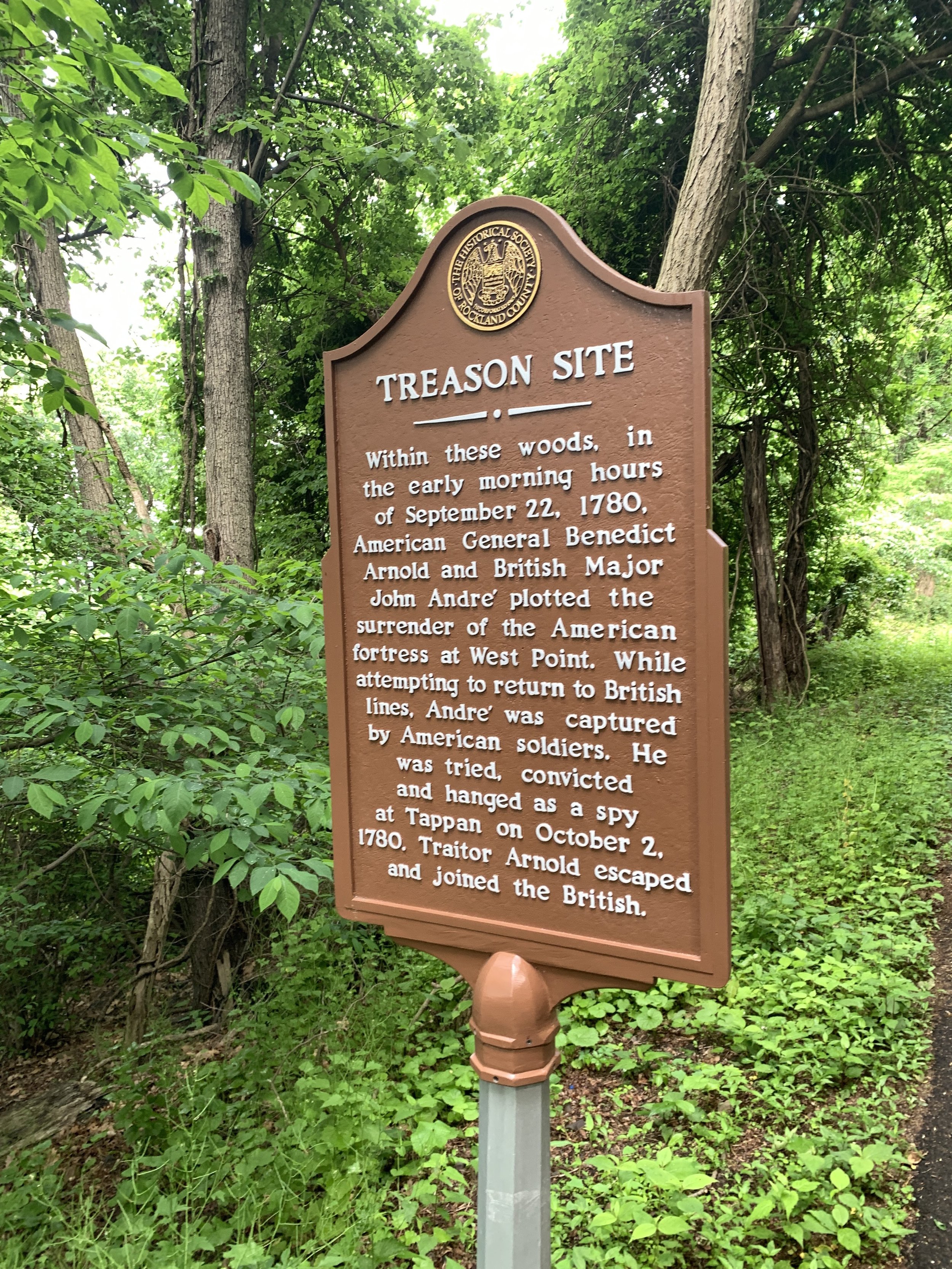
The historical marker in Hook Mountain State Park showing the general area of the Arnold / Andre meeting. It is about 50-100m north of the actual site

Landing spot of Andre as seen from the river. There used to be a dock there, but it is now long gone.

Another view of the Andre landing site. You can see the stone that is engraved, memorializing the site

The engraved stone noting the landing site of John Andre. It was engraved in the late 1800s

Another view of the landing site
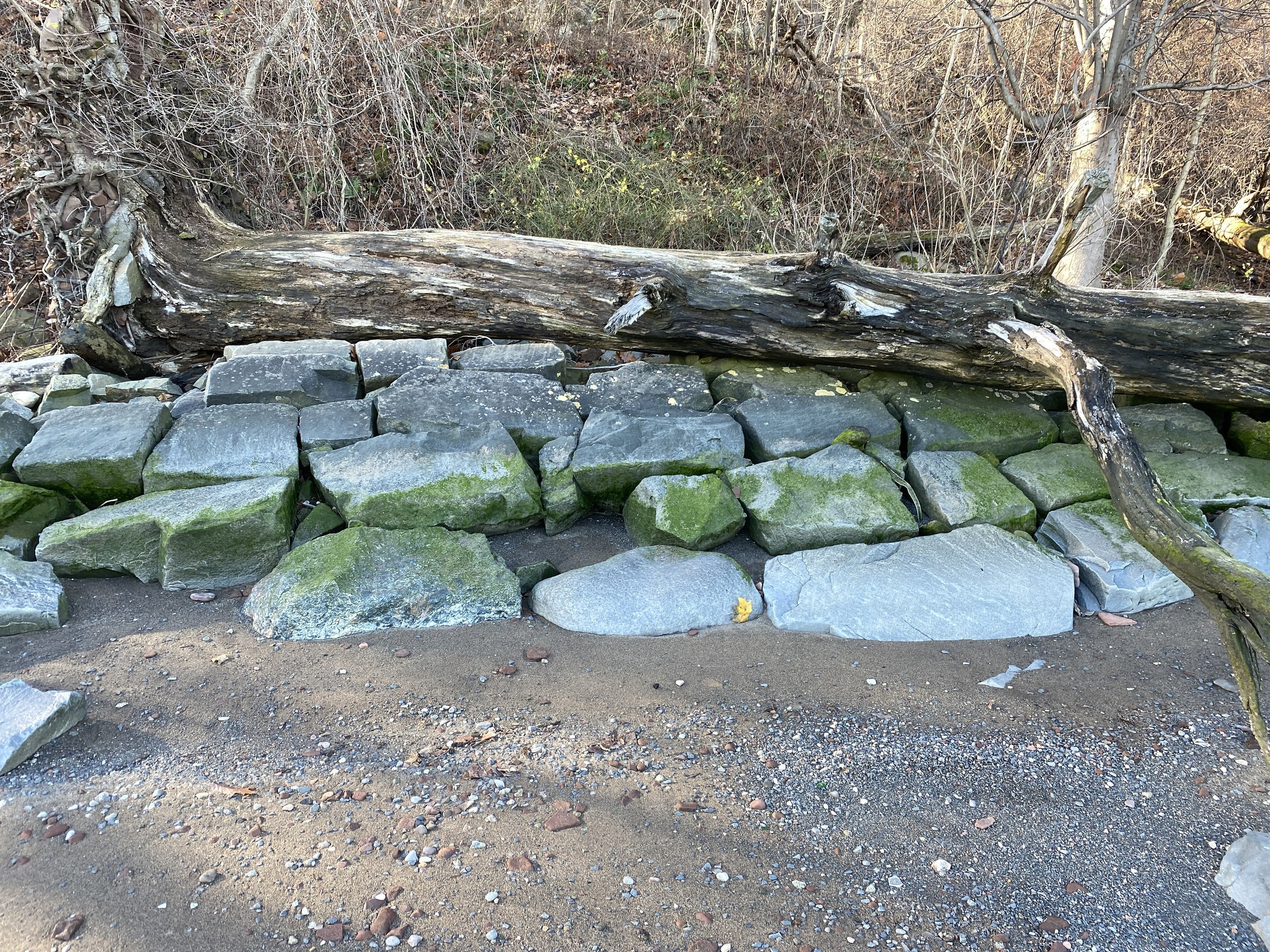
A seawall adjacent the landing site. According to an 1899 account, this seawall dates back to the time Andre landed here and he would have seen it as he came ashore

Now Hook Mountain State Park, this is the intersection where Andre and Arnold met. The meeting took place just off the to right, according to testimonies of Joshua Smith, who was present at the time. The Long Clove Road (now long overgrown) comes in from the left

A photo from 1899 showing the "line of Firs" where Andre and Arnold met. Most of the firs have long disappeared and the vegitation in the area has been taken over by invasive species

Probably the exact spot Arnold and Andre met. Its the only flat spot, apart from the road itself. Every other pieces of terrain in the area is very treacherous. This area is about 30' x 50', making it almost certaintly where they spoke through the night
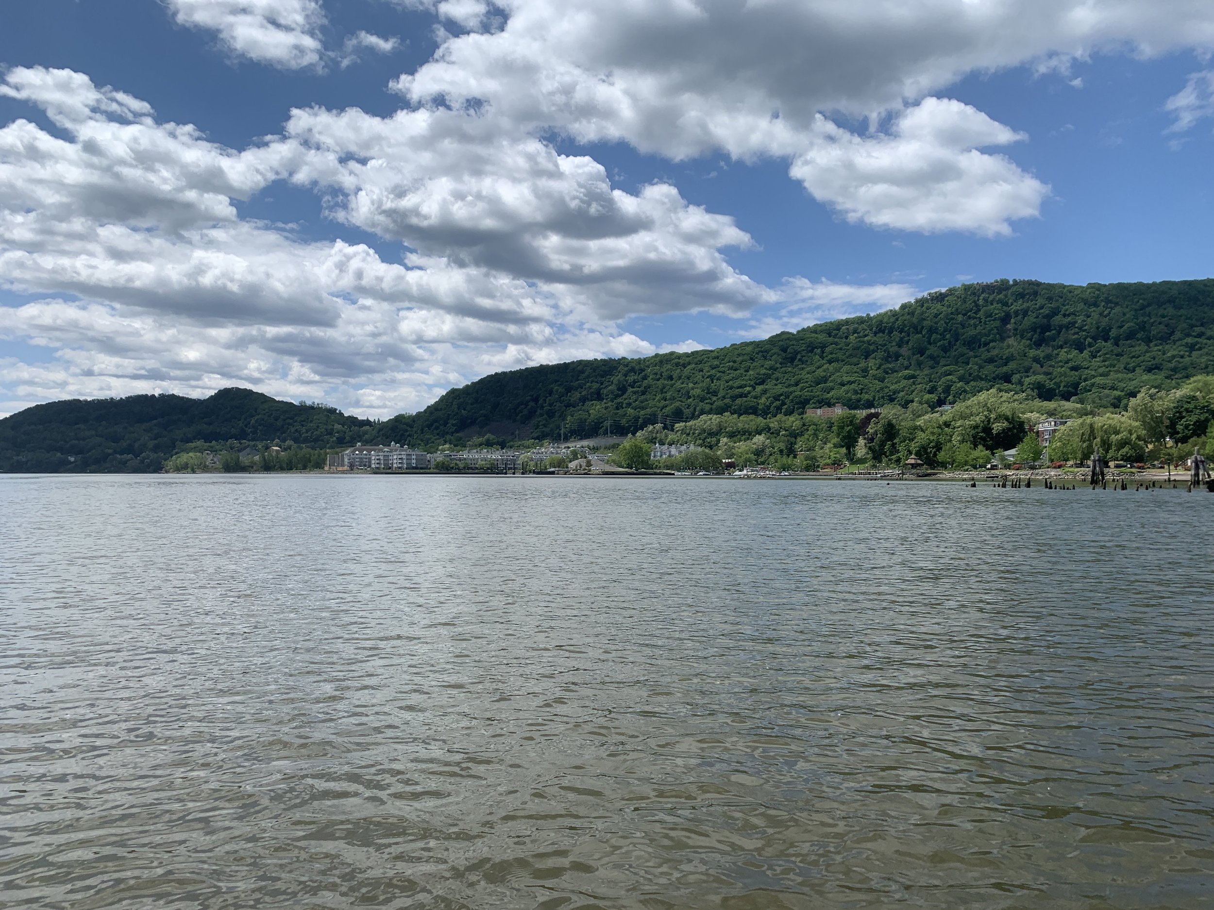
A view of the mountains where Andre and Arnold met, from the Hudson River. The Long Clove Mountain is the shorter peak to the left

Redoubt 4 at West Point. It is located near the modern Px. Arnold wrote to Andre about Redoubt 4: "Redoubt No. 4, a Wooden work about 10 feet high and fore or five feet thick, the West side faced with a stone wall 8 feet high and four thick . No Bomb Proof, two six pounders, a slight Abattis, a commanding piece of ground 500 yards [west]" (This latter description is likely referring to the location of the modern sewage plant that sits on this ground)

A view of redoubt 4 at West Point. Note the commanding view of the valley

Another view of Redoubt 4. Note the full view of the military academy below
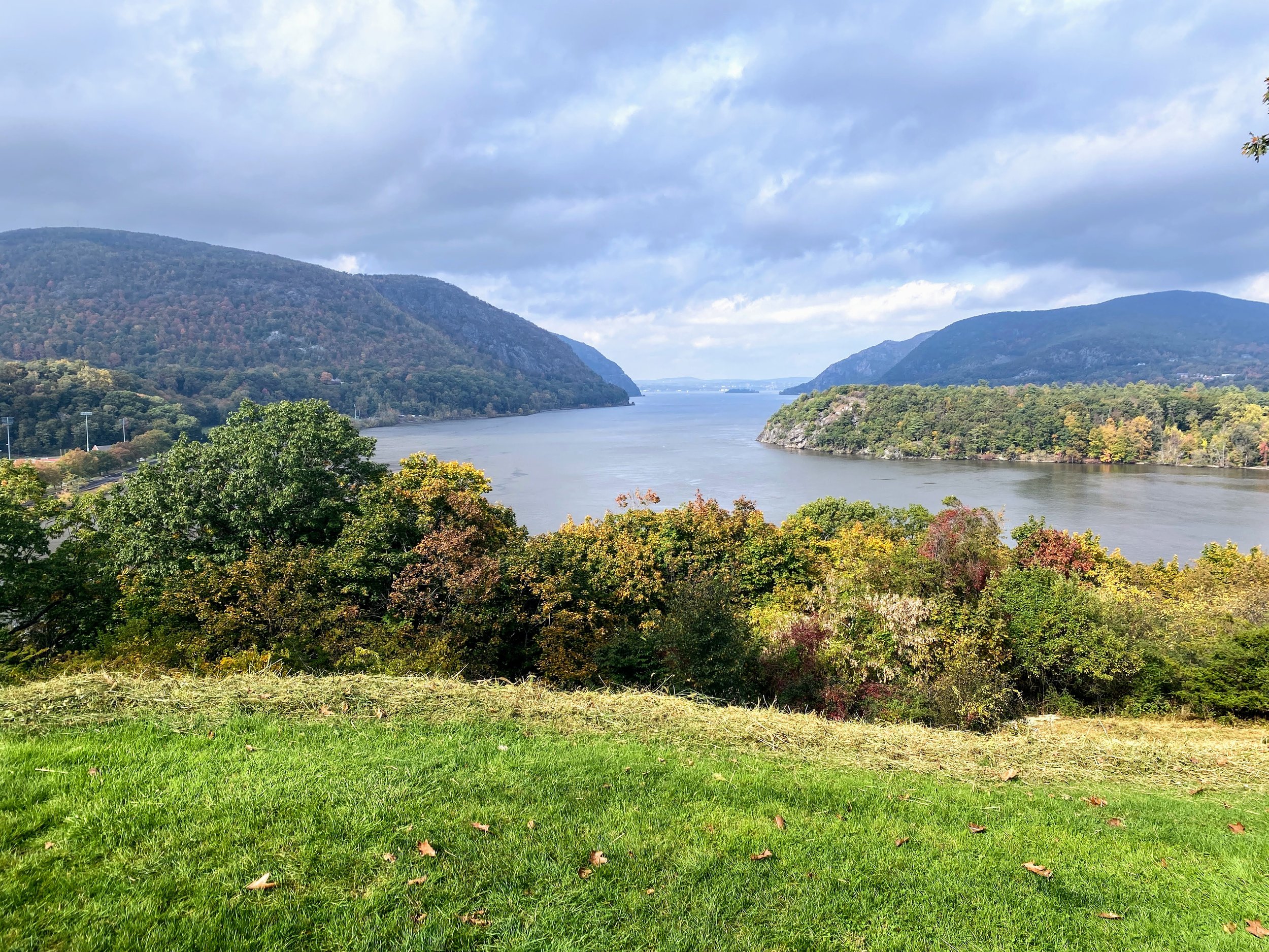
View north up the Hudson River, near what was Fort Arnold, or the main fortress on there area that is now Trophy Point

A view of where the Chain Battery was at West Point. If you look closely throught the trees, you can see the remains of the battery that overlooked the Great Chain
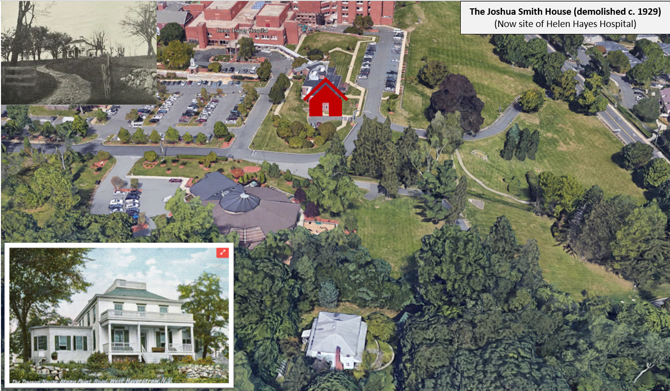
The former site of the Smith House where Andre and Arnold went during the daylight to finish their negotiations
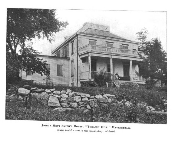
Old photo of the Smith House in 1899 before it was demolished
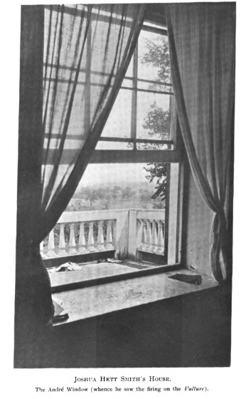
View from inside the Smith House, the exact room where Andre was alleged to have stayed for the day

A view of Robinson House, near West Point. This was Arnold's HQ and Washington came there when he discovered Arnold's treason
A view of Robinson House, near West Point. This was Arnold's HQ and Washington came there when he discovered Arnold's treason. Click the photo for a link to history of the house
